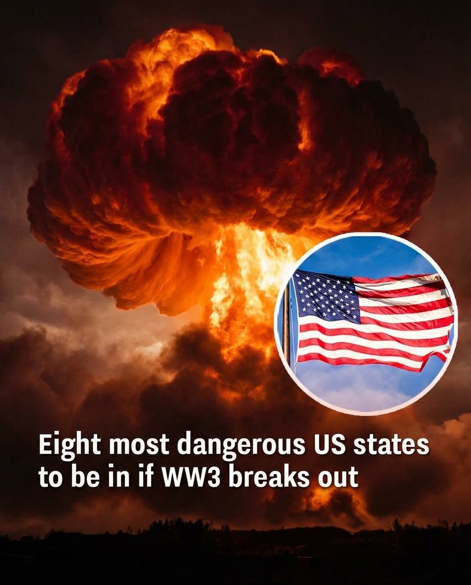
As global tensions frequently dominate headlines, many Americans have started asking a difficult question: if a large-scale world conflict ever escalated, which parts of the United States could be most vulnerable? While there is no confirmed global war underway, defense analysts and researchers have long conducted simulations to understand how geography and military infrastructure might factor into extreme scenarios. These studies are not predictions — they are preparedness exercises designed to evaluate risk in worst-case situations.
One major factor often examined is the location of strategic military assets, particularly intercontinental ballistic missile (ICBM) silos. Several central U.S. states host these facilities as part of the nation’s nuclear deterrent system. According to previously published modeling and fallout simulations, areas with concentrated missile fields could theoretically face higher direct exposure risk in a nuclear exchange scenario. States frequently cited in these analyses include Montana, Wyoming, Colorado, Nebraska, North Dakota, South Dakota, Iowa, and Minnesota. Their inclusion is tied to infrastructure location — not current events.
However, experts consistently stress that in a nuclear scenario, impact would not be limited to a small group of states. Radiation fallout patterns depend heavily on wind direction, weather systems, and the scale of the event. Infrastructure disruption, economic instability, contamination of water and food supplies, and long-term environmental consequences would likely affect regions far beyond initial targets. As defense policy specialists often emphasize, there is no truly “safe” location in a large-scale nuclear exchange — only areas of comparatively different strategic significance.
In theoretical modeling, states with fewer strategic missile installations are sometimes considered lower direct-target risk. These often include parts of the Northeast and Southeast such as Maine, New Hampshire, Vermont, Massachusetts, Rhode Island, Connecticut, New York, New Jersey, Pennsylvania, Delaware, Maryland, Virginia, West Virginia, North Carolina, South Carolina, Georgia, Florida, Alabama, Mississippi, Tennessee, Kentucky, Ohio, Indiana, and Michigan. Still, these classifications are relative and based on simulation data, not forecasts. Ultimately, preparedness discussions focus less on fear and more on resilience — understanding infrastructure, emergency response, and risk awareness in an uncertain world.
Website Disclaimer
The information provided on this website is for general informational and educational purposes only. While we strive to ensure that all content is accurate and up to date, we make no guarantees regarding the completeness, reliability, or accuracy of any information published.
The views and opinions expressed in articles belong to their respective authors and do not necessarily reflect the views of this website. Any action you take based on the information found on this website is strictly at your own risk. We will not be liable for any losses, damages, or inconveniences arising from the use of our content.
Some articles may contain opinions, third-party information, or external links. We do not endorse or guarantee the accuracy of content on external websites and are not responsible for their practices or policies.
All content on this website is provided in good faith and is intended for informational purposes only. Readers are encouraged to verify information independently and seek professional advice where appropriate.